 |
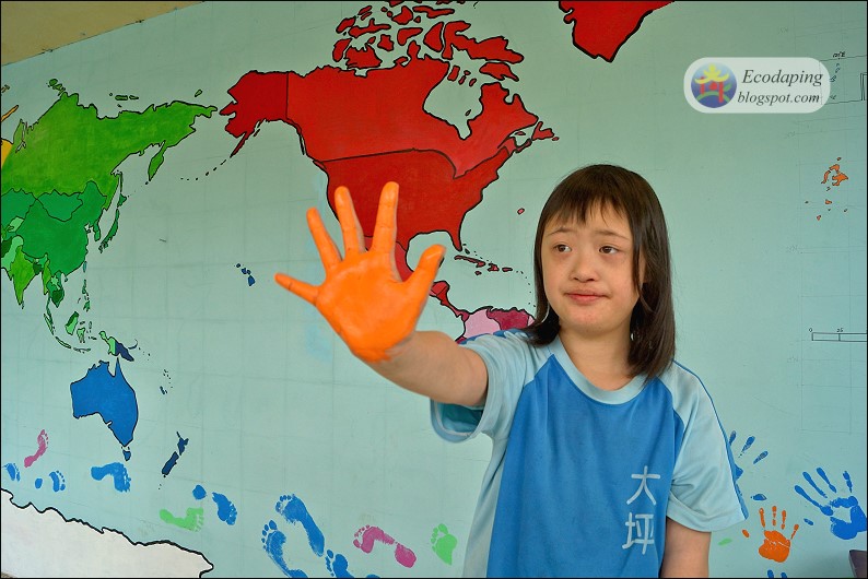
| Stamp our palm and foot prints |
Video: https://youtu.be/bXWlax1jN3w
Finally, we stamp our palm and foot prints on the wall. We give the map a name: Keep the world in Daping.
 |
| Artistic Director: Teacher Liu |
 |
| Stamp our palm and foot prints (Principal Hsu) |
 |
| Stamp our palm and foot prints |
 |
| Stamp our palm and foot prints |
 |
| Stamp our palm and foot prints |
 |
| Stamp our palm and foot prints |
 |
| Stamp our palm and foot prints |
 |
| Stamp our palm and foot prints |
 |
| The map of Taiwan (Principal Hsu) |
 |
| Coloring Taiwan (Principal Hsu) |
 |
| Coloring Miaoli County (Principal Hsu) |
 |
| Keep the world in Daping |
 |
| The location of Tequsta Trace Middle School |
 |
| Silver Award (Being received on April 19, 2016) |
 |
| The distribution of Leopard Cat in Taiwan (GIS on the wall) |
 |
| The distribution of Leopard Cat in Miaoli County (GIS on the wall) |
沒有留言:
張貼留言
注意:只有此網誌的成員可以留言。